Blog
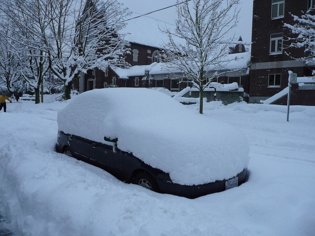


WINTER STORM WARNING REMAINS IN EFFECT UNTIL 5PM THIS
AFTERNOON...

...BLIZZARD WARNING REMAINS IN EFFECT FROM 5PM THIS AFTERNOON TO
NOON CST SATURDAY...

...WIND CHILL WATCH REMAINS IN EFFECT FROM SATURDAY EVENING
THROUGH TUESDAY MORNING...

Heavy snow with occasional blowing snow. Additional snow accumulations of 4
to 9 inches, highest north of Highway 30, and ice accumulations of a light glaze. Northeast winds gusting as high as 40 mph
today. For the Blizzard Warning, blizzard conditions expected with snow and blowing snow tonight and Saturday morning.
Northwest winds gusting as high as 50 mph tonight. For the Wind Chill Watch, dangerously cold wind chills possible. Wind chills
as low as 40 below zero.

Travel will be very difficult to impossible with significant blowing and drifting snow leading to occasional
whiteout conditions. The hazardous conditions will impact the this morning and evening commutes. Gusty winds could bring down
tree branches, which could lead to isolated power outages. For later this weekend into early next week, dangerously cold wind
chills could cause frostbite on exposed skin in as little as ten minutes.

If you must travel, keep an extra flashlight, food, and water in your vehicle in case of an emergency.

Travel should be restricted to emergencies only. If you must travel, have a winter survival kit with you. If you get stranded,
stay with your vehicle.

The latest road conditions for the state you are calling from can
be obtained by calling 5 1 1.